Emergency Response to Hurricane Ida – Side Scan Sonar Survey Inspection of Docks in Gibson
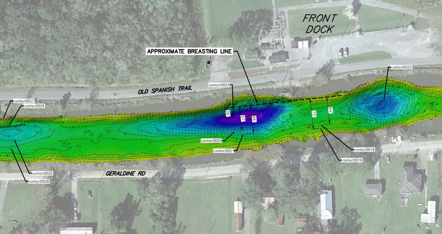
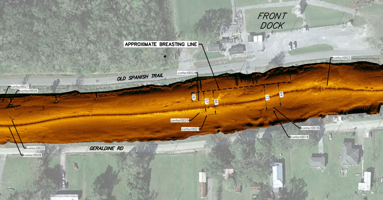
The purpose of this project was to perform an emergency side scan sonar and water depth survey of Bayou Black in Gibson to determine water depths and to look for storm debris underwater near the client’s docks so that they could determine whether it was safe to access their docks. During the survey we discovered some storm related debris resting on the seafloor. Field surveys included a side scan sonar and water depth survey. Office work consisted of processing the side scan sonar and multibeam echosounder data that was collected. Drawings were prepared showing plan views of the side scan imagery and multibeam data, along with areas that were safe for mooring and coordinates of the sonar contacts (hazards).


Share
Services
Client Name
Magellan Midstream Partners LP
Location
Terrebonne Parish, Louisiana
Sector
Surveying & Mapping
Completion Date
2021
Key Features
- Side Scan Sonar Survey
- Multibeam Survey
- Data Collection & Processing
- Cost Estimating
- Project Scoping
- Mapping Services
- Deliverable & Report Preparation
Value Benefits
- Post Hurricane Emergency Response
- Public Safety Concern
- Responsiveness
- High Quality Deliverables
- Excellent Communication Skills During an Emergency
Innovative Infrastructure Planning, Design, and Management
Talk to our specialized group of experts with sound experience and engineering knowledge